Technology
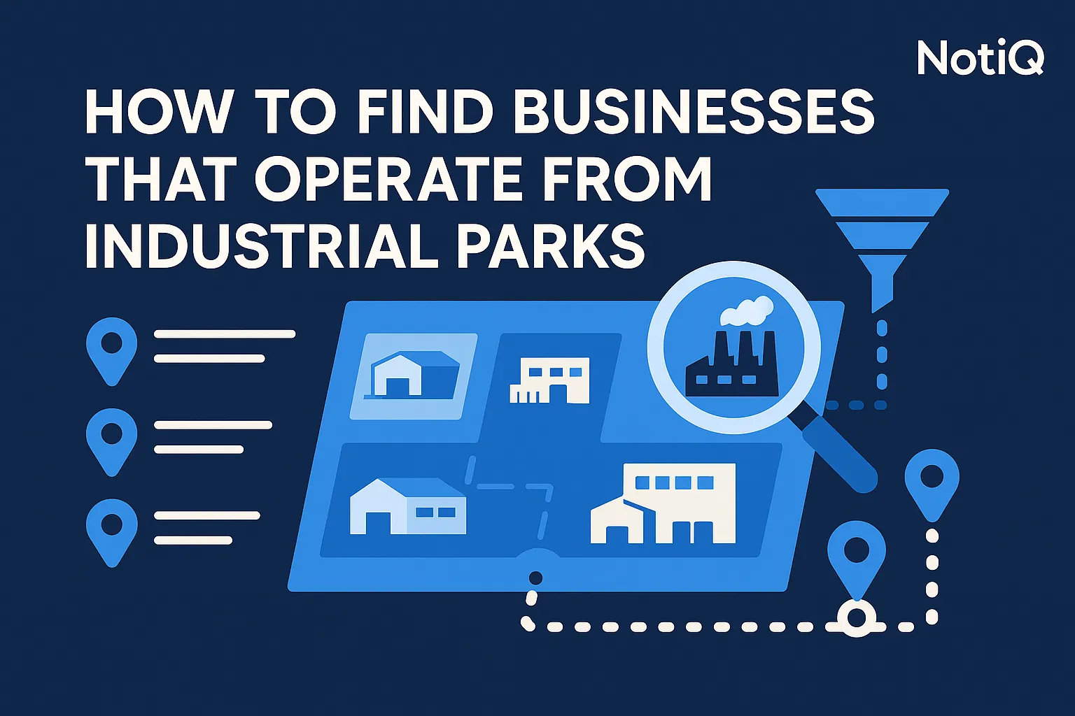
How to Find Businesses That Operate From Industrial Parks
Learn how to find businesses operating from industrial parks using a geography-first workflow. This guide shows how to build cleaner tenant lists, validate real operators, and prioritize high-value industrial hubs.
1. Introduction
Industrial prospecting breaks down the moment sales teams start with generic company databases instead of the actual geography where industrial operators work. Finding manufacturers, warehouses, logistics firms, distributors, and industrial service companies inside industrial parks is significantly harder than standard B2B list building. The boundaries are invisible, business categories are often fragmented, and tenant data is rarely centralized.
This guide provides a practical blueprint for building cleaner, export-ready, location-based lead lists. By starting with industrial zones, applying strict category filters, and utilizing address clustering, outbound teams can bypass the noise of traditional prospecting. Designed for advanced sales and operations leaders who need a repeatable workflow that scales across multiple metros, this article covers why traditional methods fail, how to discover and validate real operators, how clustering prioritizes dense hubs, and when to leverage maps versus specialized tools.
Backed by[NotiQ](/)'s direct experience as a geography-first workflow platform for industrial lead discovery, this framework relies on business-category filtering and address clustering to turn fragmented map data into high-value industrial park business leads for targeted manufacturing prospecting.
2. Why Industrial Park Prospecting Is Hard
Industrial park lead generation operates under entirely different constraints than generic local business discovery or broad B2B list building. There is a fundamental mismatch between user intent and common workflows: most teams begin by searching for company names or broad industry categories. However, industrial prospecting is vastly more effective when geography comes first.
Sales and operations teams typically run into five core pain points: slow manual research, fragmented park boundaries, poor category precision, weak operational validation, and overwhelming noise from duplicate or shared addresses. Industrial parks are rarely uniform. They include mixed operators, shared facilities, field offices, and low-signal listings that drastically reduce outbound quality if not filtered carefully.
The goal of a geography-first approach is not simply acquiring more leads, but achieving cleaner, facility-based lead generation that targets actual operating businesses rather than empty corporate shells.
Why Manual Map and Directory Research Fails at Scale
One-off manual searches on maps and local directories can surface a handful of industrial park businesses, but this approach becomes wildly inconsistent when scaled across dozens of parks or multiple countries. Manual map discovery suffers from incomplete tenant coverage, inconsistent business naming conventions, and data that is rarely export-ready.
While local economic development directories can be authoritative, they are often fragmented, unevenly maintained, and difficult to standardize. Unlike basic extraction tutorials that stop at downloading raw map pins, a robust industrial zone discovery process requires systematic validation. To understand baseline industrial concentrations before manual research even begins, professionals rely on reliable public datasets like County Business Patterns by geography and industry to identify where an industrial park tenant directory or an industrial estate companies list is actually worth building.
Why Generic Lead Databases Miss Industrial Context
Broad B2B databases are highly effective for pulling contact information and firmographics, but they are notoriously weak at identifying whether a company truly operates from a specific industrial address. Generic lead databases frequently index corporate headquarters or administrative offices rather than the actual operating facilities.
Furthermore, they suffer from incomplete branch visibility and category labels that are far too broad for precise manufacturing leads or targeting warehouse and logistics companies. Geography-first discovery solves this by establishing geographic relevancebeforethe data is enriched. To ensure industrial real estate tenants are accurately categorized, outbound teams should align their targeting with official NAICS classification guidance to separate true industrial operations from generic commercial entities.
3. A Step-by-Step Industrial-Zone Discovery Workflow
To generate high-quality industrial park business leads, teams need a repeatable framework rather than a fragmented, tool-specific tutorial. By discovering the industrial geography first and identifying businesses inside it second, you can systematically scale manufacturing prospecting.
Step 1 — Define Industrial Parks, Estates, and Corridors First
The workflow begins by defining the actual industrial zone, park, estate, or logistics corridor rather than executing a broad business search. High-quality geographic boundaries are usually sourced from compliant map data, industrial directories, local economic development sites, and regional business intelligence platforms.
For multi-region workflows, it is critical to standardize how zones are named and recorded so the process scales beyond a single metro. A viable industrial target geography must meet three criteria: a clearly definable boundary, a high concentration of industrial uses, and viable tenant density. Referencing County Business Patterns by geography and industry is an excellent way to benchmark industrial density before aggressively prospecting a new region, ensuring you are targeting areas with a high probability of B2B location intelligence success for industrial zone map businesses.
Step 2 — Pull Candidate Businesses Within or Around the Zone
Once the zone is defined, the next step is to gather candidate businesses using map-based and directory-based discovery. This raw discovery layer involves compliantly collecting business names, addresses, categories, websites, and map signals.
It is crucial to remember that this is acandidatelist, not a final lead list. Nearby-road and perimeter searches are vital because industrial tenants frequently spill over into adjacent buildings or corridors, rather than sitting neatly inside a labeled park polygon. For more insights on building repeatable, location-based lead lists and discovering factory leads database targets, explore NotiQ's blog on geography-first workflows. Unlike generic extraction guides that focus solely on volume, this step relies heavily on intelligent industrial park selection logic.
Step 3 — Layer Category Filters to Improve Fit
A broad "business in area" search will generate too many false positives. Applying strict category filtering isolates the most likely manufacturers, warehousing operators, wholesalers, logistics providers, distributors, and industrial service companies.
When executing business-category filtering, establish a framework for primary versus secondary categories. For example, a primary category like "CNC Machining" or "Freight Forwarding" is a strong signal for manufacturing companies near me or a warehouse business directory. Conversely, a category like "Accounting Software" located in an industrial park is likely an administrative office and should be excluded. To standardise this logic, cross-reference your filters with official NAICS classification guidance to ensure your category logic aligns with real, physical establishment activity.
Step 4 — Enrich and Standardize the Raw Dataset
Discovered records require normalization before they become outreach-ready. Standardize critical fields including company name variants, address formatting, category tags, website domains, and zone/cluster labels.
Enrichment should enhance the usability of the data, but it must never overwrite the original geographic evidence that made the company relevant in the first place. A standardized, export-ready lead list supports efficient territory planning and outbound sequencing. Once your facility-based lead generation data is clean and segmented, it can be passed to downstream personalization and outreach activation platforms like Repliq to execute highly targeted campaigns.
4. How to Filter and Validate Real Industrial Operators
Validation is the critical quality-control layer that transforms a raw list of map pins into a highly usable dataset for industrial park business leads. Distinguishing real facility operators from weak-fit listings, shared offices, and virtual addresses is essential for effective manufacturing prospecting.
Use Category and Activity Signals, Not Just Business Names
Business names alone are unreliable indicators of industrial activity. Many industrial firms use generic holding-company names or broad corporate branding. Instead, prioritize operational signals: category labels, website language, facility references, product pages, fleet and logistics cues, and industrial imagery.
Because some industrial service companies might appear as administrative offices on one directory and operating facilities on another, cross-checking sources is mandatory. To maintain high fidelity in your manufacturing leads and business-category filtering, always tie your classification logic back to official NAICS classification guidance.
Validate That the Address Represents a Real Operating Site
There is a massive difference between a corporate HQ, a regional sales office, a virtual mailbox, and an actual operating facility. Validating the physical footprint involves cross-checking addresses across compliant maps, public directories, company websites, and facility-level public records.
Stronger signals of a real operating site include visible loading bays, warehouse references, production language on the website, or suite patterns consistent with industrial tenancy. For authoritative validation of whether an address maps to a real operating facility, teams can consult the EPA facility registry validation guide. Furthermore, utilizing structured geographic matching via the Census geocoding API documentation ensures your facility-based lead generation and industrial zone discovery efforts are rooted in verified spatial data.
Handle Shared Addresses, Duplicates, and Multi-Tenant Buildings
Industrial parks inherently create messy datasets characterized by multiple businesses at a single address, discrepancies between building-level and suite-level records, and duplicates across different directories.
Implement deduplication rules based on name similarity, address normalization, website domains, and suite logic. However, not every shared address is low quality; many are legitimate multi-tenant industrial sites and should be grouped rather than automatically deleted. A simple "keep / merge / exclude" framework helps resolve ambiguous records, leveraging address clustering to resolve duplicate addresses effectively.
Know When the Dataset Is Complete Enough to Use
Perfection in B2B prospecting data is unrealistic, but outbound teams must establish a strict completeness threshold. A dataset is ready when it achieves sufficient coverage of the zone, an acceptable false-positive rate, validated top categories, and normalized export fields.
Advanced teams should utilize a "minimum viable lead-list" checklist to ensure export-ready lead lists maintain high lead-list quality. To benchmark density and coverage expectations by area, refer to the BLS establishment and industry area data overview, which provides a realistic baseline for local industrial presence.
5. Using Address Clustering to Prioritize Dense Hubs
Address clustering is not just a data-cleaning tactic; it is a strategic prioritization method for sales and market research. By revealing industrial concentrations and shared facilities, clustering drastically improves the efficiency of location-based lead lists.
What Address Clustering Reveals in Industrial Areas
In practical terms, address clustering involves grouping businesses by the same address, nearby parcels, building complexes, or corridor density. This process surfaces high-value zones that contain a massive concentration of target operators within a compact geographic area.
Clustering is foundational for route planning, territory design, account prioritization, and mapping out complex industrial ecosystems. It transforms a scattered list of GIS business leads into a strategic map of dense industrial clusters, optimizing the industrial zone discovery process.
How to Separate Valuable Clusters from Noisy Clusters
Not all clusters are valuable. It is vital to distinguish true industrial hubs from mixed-use commercial strips or low-signal office blocks. Decision criteria should include the concentration of industrial categories, facility-type address signals, consistency across public sources, and overall cluster density.
A high-value cluster typically features manufacturers, warehousing, and logistics providers co-located within a single park or corridor. To validate these geographic concentration claims, cross-reference your findings with the BLS establishment and industry area data overview to ensure your facility-based lead generation targets genuine hubs for warehouse and logistics companies rather than noisy retail districts.
How Clustering Helps Prioritize Outreach and Territory Planning
Sales teams can leverage clustering to rank industrial zones by density, category mix, and strategic fit. This directly informs practical actions: assigning sales reps, building market-entry lists, sequencing outbound campaigns by zone, and identifying underserved industrial corridors.
A simple scoring framework based on cluster size, target-category concentration, validation confidence, and ease of enrichment will streamline industrial cluster prioritization. For teams looking to unify discovery, filtering, and clustering into a single seamless workflow for manufacturing prospecting and territory planning,[NotiQ](/)provides the necessary infrastructure.
6. Choosing Between Maps, Databases, and Specialized Tools
Advanced teams need a reliable decision framework rather than pretending a single source can solve every industrial prospecting challenge. The best approach combines multiple compliant data streams while anchoring the workflow in geography-first logic.
When Google Maps Is Useful
Google Maps is an excellent starting point for visible local discovery and quick manual validation. Its strengths lie in intuitive geographic exploration, immediate category visibility, and the easy discovery of adjacent businesses.
However, its limitations are significant for scale: it requires heavy manual effort, lacks consistent bulk data structure, and offers weak support for systematic multi-region exports. While useful for one-off location-based lead lists or verifying industrial zone map businesses, it falls short of enterprise needs if not paired with validation and clustering.
When Broad Databases Help
Generic company databases are highly usefulaftergeographic discovery has taken place. They excel at lead enrichment, appending firmographics, and acquiring contact information.
However, they are strongest as a secondary layer, not as the primary source for industrial geography. Tradeoffs include slower geographic filtering, broad category definitions, and a frequent lack of facility-level context, making them less reliable as a primary source for precise manufacturing leads or B2B prospecting in specific parks.
When Specialized Industrial Discovery Workflows Win
Specialized workflows triumph when teams require geography-first discovery, facility validation, business-category precision, and address clustering. This middle ground outperforms purely manual methods and avoids the overwhelming complexity of heavyweight GIS spatial analysis (like Esri) for day-to-day sales operations.
By utilizing compliant public directories, Google Business Profile insights, and specialized mapping logic, these workflows provide export-ready, deduplicated data with high industrial-site relevance. This ensures superior verification and compliance for industrial zone discovery.
A Practical Decision Matrix for Advanced Teams
When evaluating tools, teams should compare maps, generic databases, and specialized workflows across five pillars: coverage quality, filtering precision, operational validation, scalability, and the ability to produce export-ready lead lists.
While the most robust industrial prospecting stacks combine multiple sources, geography-first logic must always anchor the process to ensure high-fidelity targeting.
7. Conclusion
The fastest way to improve the quality of industrial park business leads is to stop treating them like generic company searches and start with a geography-first discovery process. By defining industrial zones, collecting candidate businesses, filtering strictly by category, validating operational presence, and clustering addresses, teams can build deduplicated, export-ready lists.
This methodology delivers superior list precision, clearer territory prioritization, and stronger outbound relevance for manufacturing and industrial segments. To automate and scale this location-based lead list workflow, explore[NotiQ](/)to see how industrial-zone discovery, category filtering, and address clustering can transform your manufacturing prospecting. For more advanced workflow guides, visit the NotiQ blog.
Frequently Asked Questions
- How do I find businesses that operate from industrial parks?
- The most effective method is a geography-first approach: identify the geographic boundaries of industrial zones first, compliantly pull candidate businesses from those areas, filter them by specific industrial categories, and validate their operational presence. Relying solely on broad company searches usually misses vital facility context, resulting in poor visibility into actual industrial park businesses.
- What is the best way to build industrial park business lead lists?
- The best way to build industrial park business leads is through a sequenced process: zone discovery, category filtering, data enrichment, deduplication, and address clustering. Emphasize validation quality and ensure you are generating export-ready lead lists rather than just chasing raw data volume.
- How can I identify manufacturing companies by location?
- Combine mapped industrial areas with manufacturing-relevant categories and strict classification logic. It is critical to validate that the address is a real operating facility, not just a corporate office, which is essential for accurate manufacturing prospecting. Always align your targeting with official NAICS classification guidance to find genuine manufacturing companies near me.
- How do I filter businesses inside industrial zones by category?
- Apply practical business-category filtering logic that isolates manufacturers, logistics firms, warehousing, wholesale, and industrial services. Treat these categories as initial signals, and always cross-check them with address validation and website evidence to ensure accurate industrial zone discovery.
- How can address clustering improve industrial prospecting?
- Address clustering reveals dense industrial hubs, shared facilities, and priority outreach areas while simultaneously helping to clean duplicates from your dataset. This directly supports territory planning and allows sales teams to prioritize location-based lead lists by focusing on the most valuable, dense industrial hubs.
Continue Reading
More articles you might find useful
How to Find Local Businesses With Very Few Website Pages
Learn how to find local businesses with very few website pages using a repeatable audit framework. This guide shows how to validate page count, spot missing pages, and prioritize the best outreach opportunities.
Read the article →
Google Maps Lead Generation for Window and Door Installers
Learn how window and door installers can use Google Maps to find, qualify, and prioritize better local prospects. This beginner-friendly guide shows a repeatable workflow for smarter local outreach.
Read the article →
How to Prioritize Businesses With Verified Google Profiles
A practical framework for ranking local leads beyond the verified badge. Learn how to prioritize Google Business Profiles using fit, freshness, completeness, and activity signals.
Read the article →Popular industry lead playbooks
Maps search examples and niche outreach for the verticals teams prospect most.